Learn how to measure land for construction the right way. Simple methods, tools, and tips to get accurate results every time.
How to Measure Land for Construction Guide

Measuring land before construction is one of the most important steps you can take. I have seen projects go sideways simply because someone skipped this part.
Wrong measurements lead to costly fixes, legal issues, and wasted time. This guide covers everything you need to know, from basic terms to tools and methods.
You will also learn how to calculate your land area and avoid common errors.
I have worked with land measurement basics for years, and I will share what actually helps.
Let's get into it.
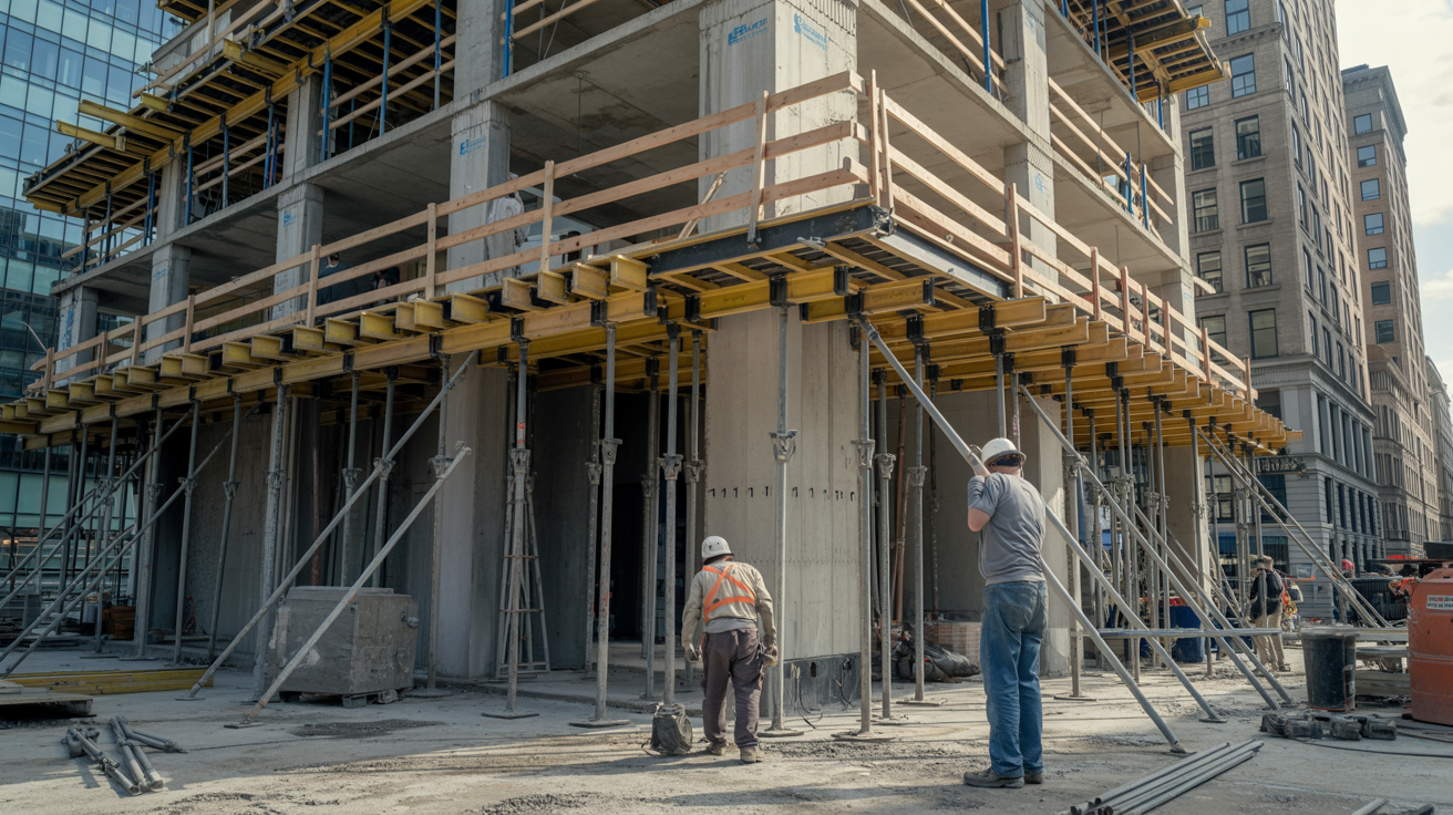
Why Land Measurement Matters Before Construction
Getting your land measurements right before construction starts can save you a lot of money and stress.
Many people skip this step thinking it is not that important. But even a small error in measurement can cause serious problems down the line.
If you build even a few inches over your property boundary, your neighbor can take legal action. Local authorities can also fine you or order you to tear down what you built.
That is a costly mistake no one wants to deal with.
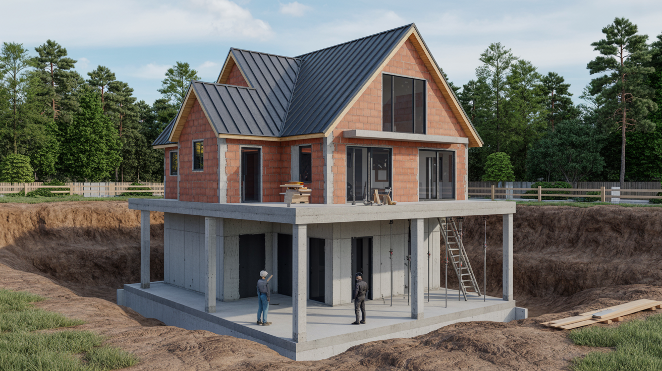
Accurate measurements help you plan your structure properly. You will know how much space you have, where to place the foundation, and how to stay within legal setback limits.
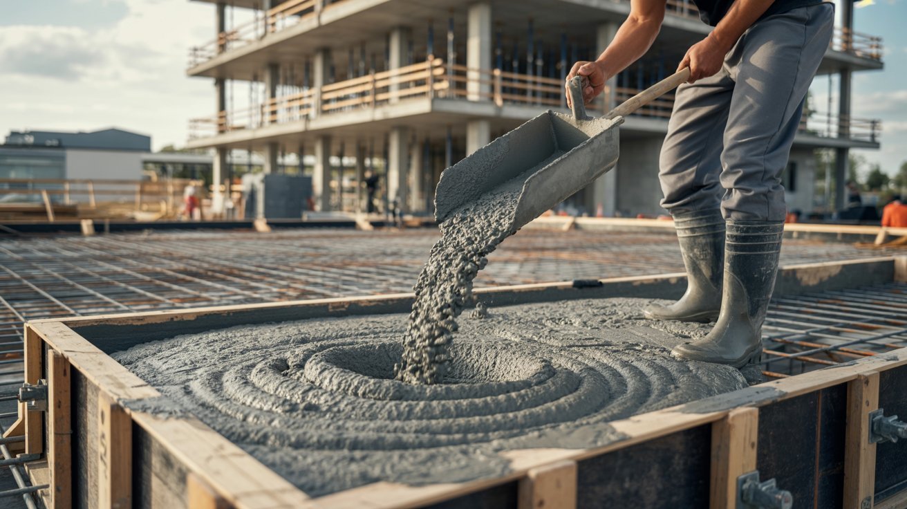
It also affects your budget. When you know the exact area, you can calculate how much material you need. This reduces waste and keeps your costs in check.
Measurement also matters when you apply for building permits. Most local governments require a site plan with accurate land dimensions. Without it, your permit may get rejected or delayed.
Think of land measurement as the base of your entire project. Everything else, from design to construction to legal compliance, depends on it being correct.
Basic Land Measurement Terms
Before you start measuring, it helps to know the key terms used in land measurement. These terms come up in every survey report, property deed, and construction plan.
Plot refers to a piece of land with defined boundaries. A boundary line is the line that separates your property from your neighbor's.
Knowing your boundary lines keeps you from building on someone else's land.
Square footage is the total area of a plot measured in square feet. It is one of the most commonly used units in construction planning.
Acreage is used for larger pieces of land, where one acre equals 43,560 square feet.
A benchmark is a fixed reference point used during surveying to measure elevations and positions. Topography refers to the natural features and elevation changes of the land surface.
A setback is the minimum distance required between your structure and the property boundary. These rules are set by local zoning laws and must be followed during construction.
Understanding these terms helps you read survey documents clearly and communicate better with contractors and local authorities.
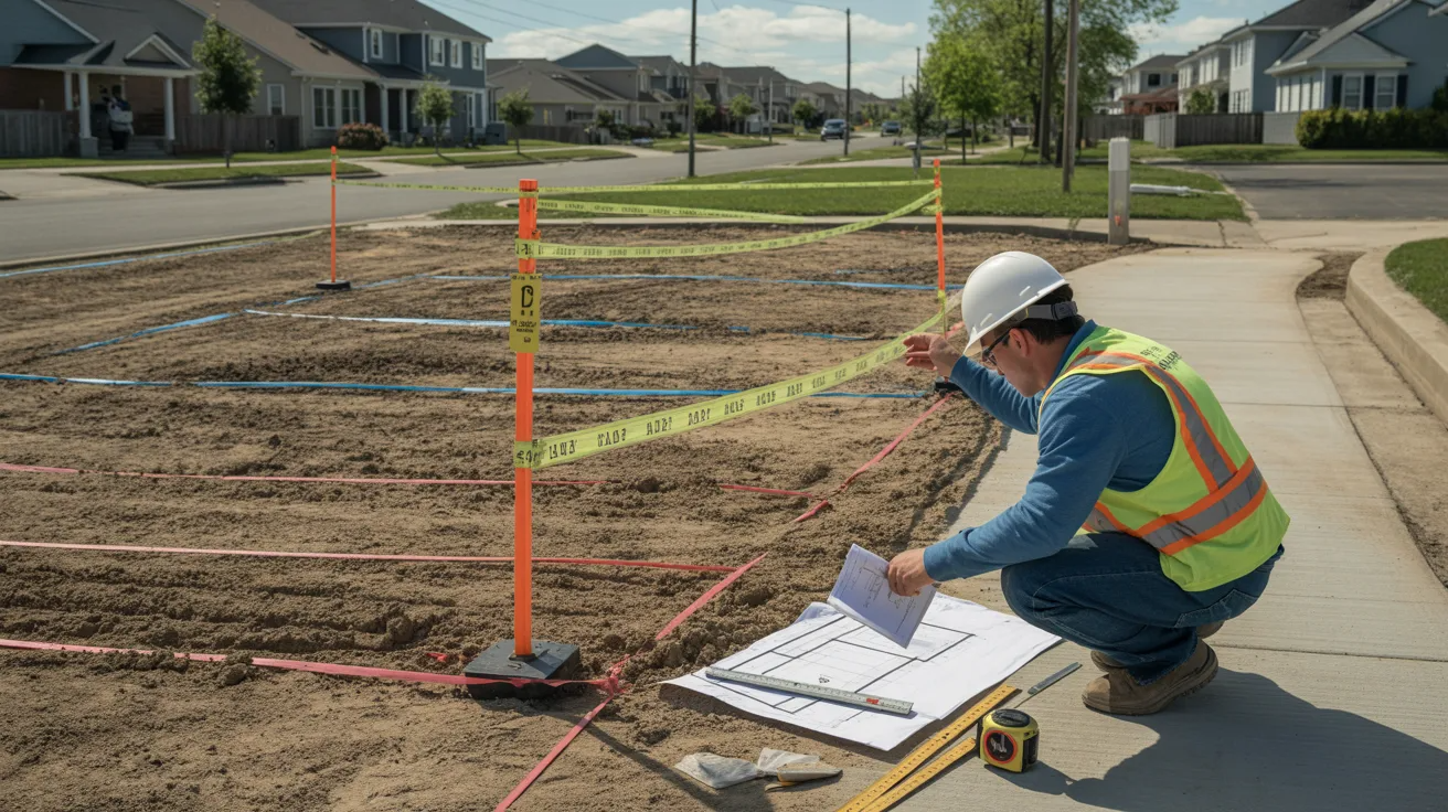
Common Methods to Measure Land
There are several ways to measure land accurately, depending on the size, shape, and terrain of the property.
Measuring with Tape and Stakes
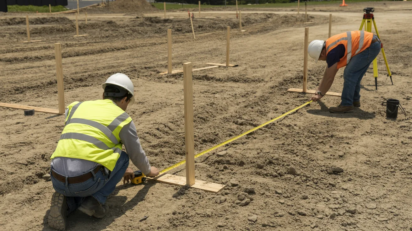
This is the most basic method. You use a long measuring tape and place stakes at key points along the boundary. It works well for small, flat, and regular-shaped plots.
Start at one corner of the land and measure each side. Mark each point with a stake. This method is low cost but requires care to get straight lines.
Using GPS and Mapping Tools
GPS devices give you accurate coordinates for each corner of your land. You can then feed these coordinates into mapping software to calculate the area.
This method works well for larger plots or areas with obstacles.
Many modern devices are easy to use and give readings within a few centimeters of accuracy.
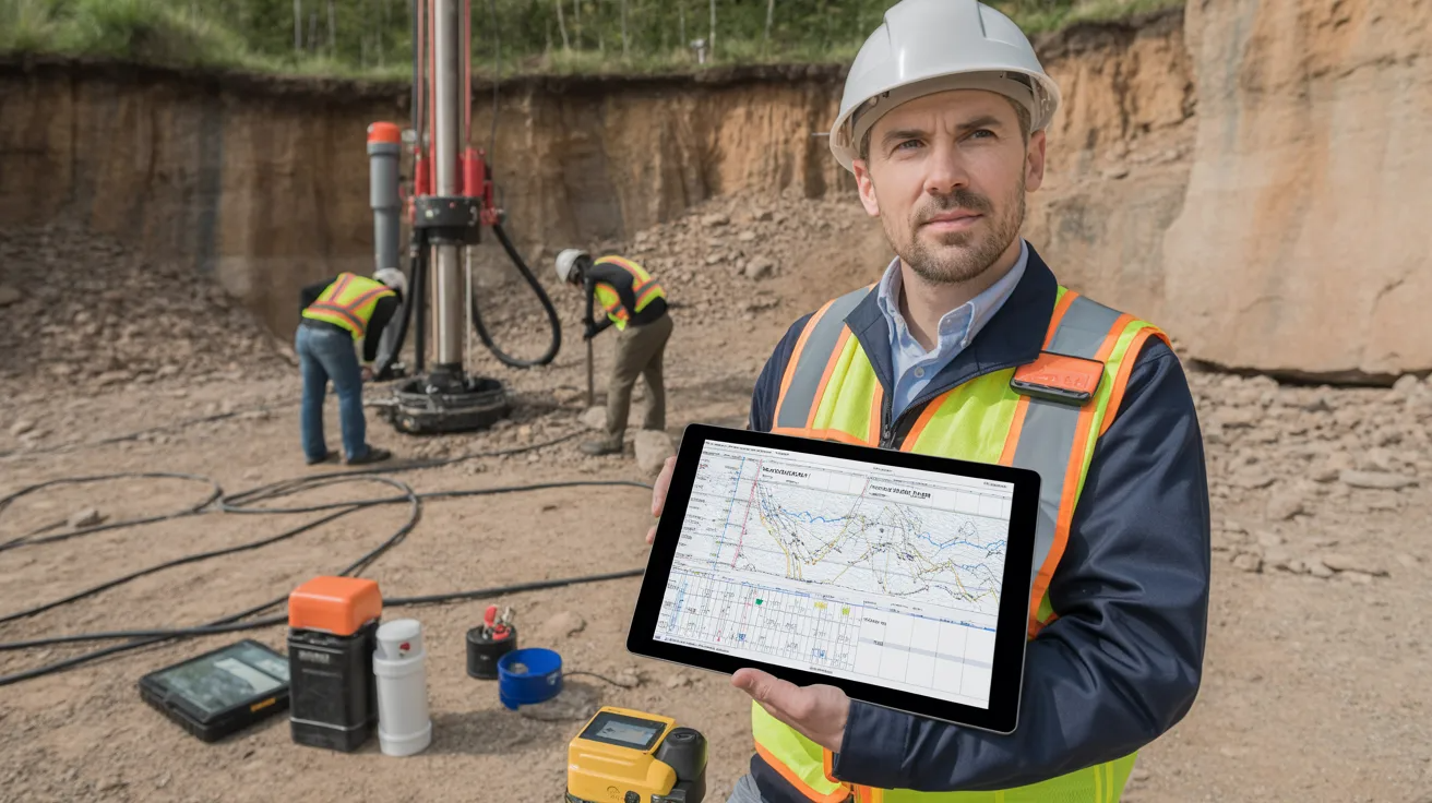
Professional Land Surveying

For large or legally sensitive land, hiring a licensed surveyor is the right move. Surveyors use advanced tools and legal knowledge to give you a certified boundary report.
This document is accepted by courts, banks, and government offices.
Tools Used for Land Measurement
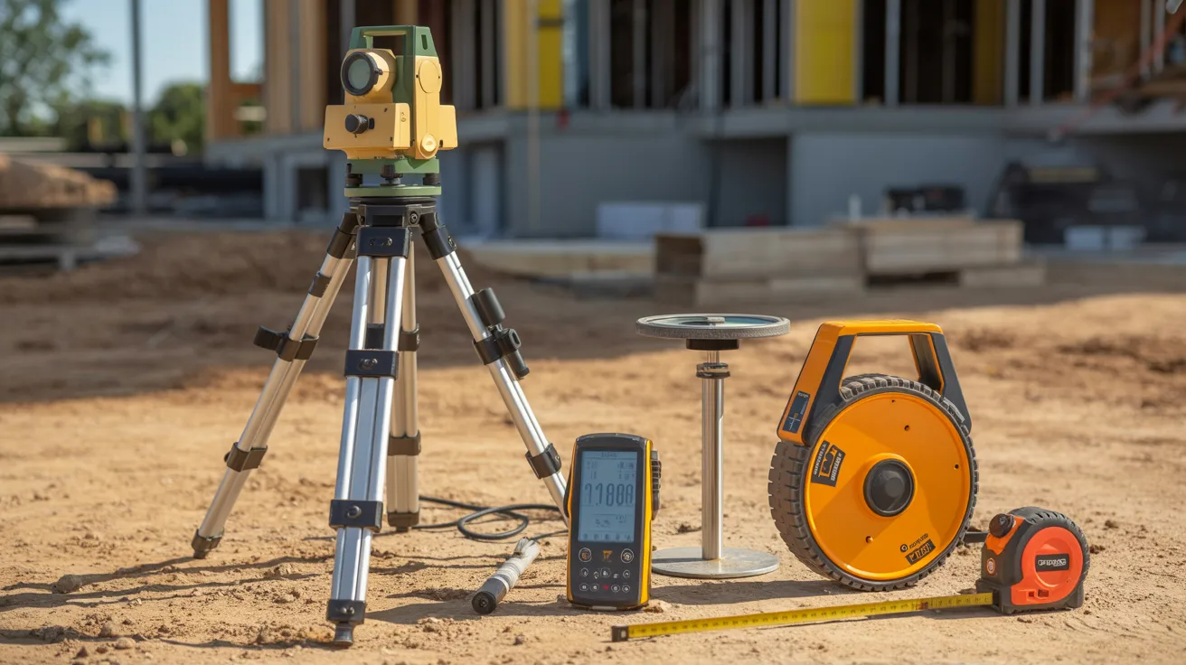
The right tools make land measurement much easier and more accurate.
A measuring tape works well for small plots and short distances, while a survey wheel is better when you need to cover longer ground.
You just roll it along and read the distance straight off the counter. For faster and more precise readings, laser distance meters are a solid choice, especially for on-site measurements like walls and room dimensions.
GPS devices take it further by giving you exact coordinates for larger outdoor plots. If you want a full map of your land, GIS platforms use satellite data to overlay property details in one place.
And if you need something quick on the go, survey apps on your smartphone can handle basic checks without any extra equipment.
How to Calculate Land Area
Learn the easiest ways to measure land accurately for construction, property planning, and legal purposes.
Step 1: Measuring Square and Rectangular Plots
For a square or rectangular plot, multiply the length by the width. For example, if your land is 100 feet long and 50 feet wide, the area is 5,000 square feet.
This is the simplest calculation in land measurement.
Step 2: Measuring Irregular Land Shapes
Irregular plots need a different approach. Break the shape into smaller triangles or rectangles. Calculate the area of each section separately.
Then add them all together to get the total area.
Another method is to use the coordinate formula, which requires the GPS coordinates of each boundary corner.
Step 3: Converting Square Feet to Acres
To convert square feet to acres, divide the total square feet by 43,560. So, 87,120 square feet equals exactly 2 acres. This conversion is often needed when applying for permits or listing land for sale.
Understanding Land Surveys
A land survey is an official measurement and mapping of a piece of land. It is done by a licensed professional using precise tools and methods.
The survey report includes boundary lines, area, topography, and any easements or encroachments.
Before buying land or starting construction, always ask for a current survey. Older surveys may not reflect recent boundary changes or new structures nearby.
A fresh survey gives you a clear and legal record of what you own and where you can build.
Common Mistakes to Avoid
- Skipping the professional survey for large or disputed land
- Using outdated maps that do not show current boundaries
- Ignoring local setback rules before placing your foundation
- Measuring on uneven ground without accounting for slope
- Not checking for easements that may restrict where you can build
- Relying only on visual landmarks like fences or trees to mark boundaries
- Forgetting to convert units properly when switching between feet, meters, and acres
Conclusion
Measuring land before construction is not something you want to rush. I learned that the hard way after seeing projects stall over simple boundary errors.
When you take the time to measure correctly, everything else falls into place. You plan better, spend smarter, and build with confidence.
Start with the right tools, know your terms, and do not skip the survey when it matters.
If this guide helped you, drop a comment below and tell me what you are building. Share it with someone who needs it too.
Frequently Asked Questions
How accurate does land measurement need to be for construction?
It needs to be very accurate. Even small errors can lead to legal issues or structural problems. Always aim for millimeter-level precision when setting foundations.
Can I measure land myself without hiring a surveyor?
Yes, for basic planning you can measure yourself using a tape or GPS app. But for legal and permit purposes, a licensed surveyor's report is required.
What is the best tool for measuring large land areas?
GPS devices combined with GIS software work best for large areas. They give precise coordinates and help you map the full boundary with ease.
How do I measure land with an irregular shape?
Break the shape into smaller triangles or rectangles, measure each part, and add the areas. You can also use GPS coordinates and the coordinate formula for better accuracy.
Do I need a new survey every time I build on the same land?
Not always, but it is a good idea to get an updated survey if you have not built there before or if boundaries may have shifted due to legal or natural changes.